Add your review
Review Reproduction of ‘Map Book of Rijnland, 1746’; 1969


€200,00
1 in stock
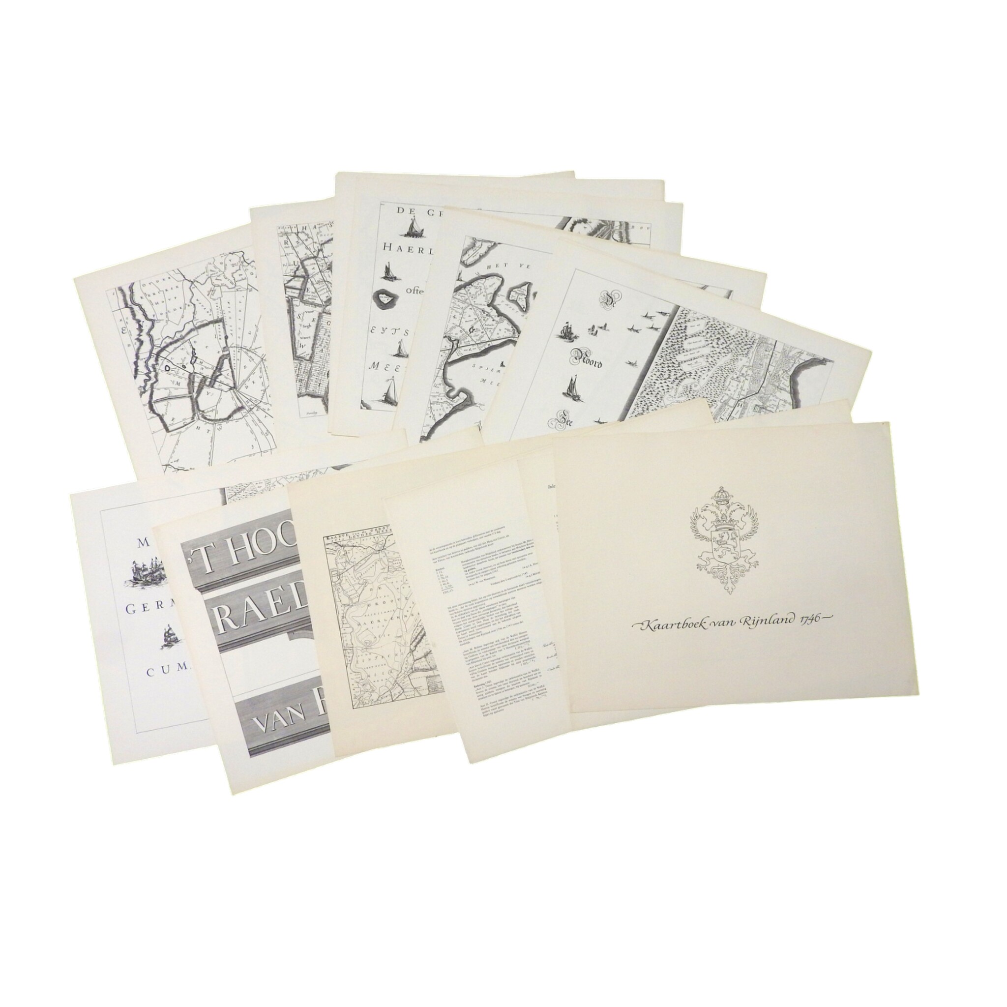
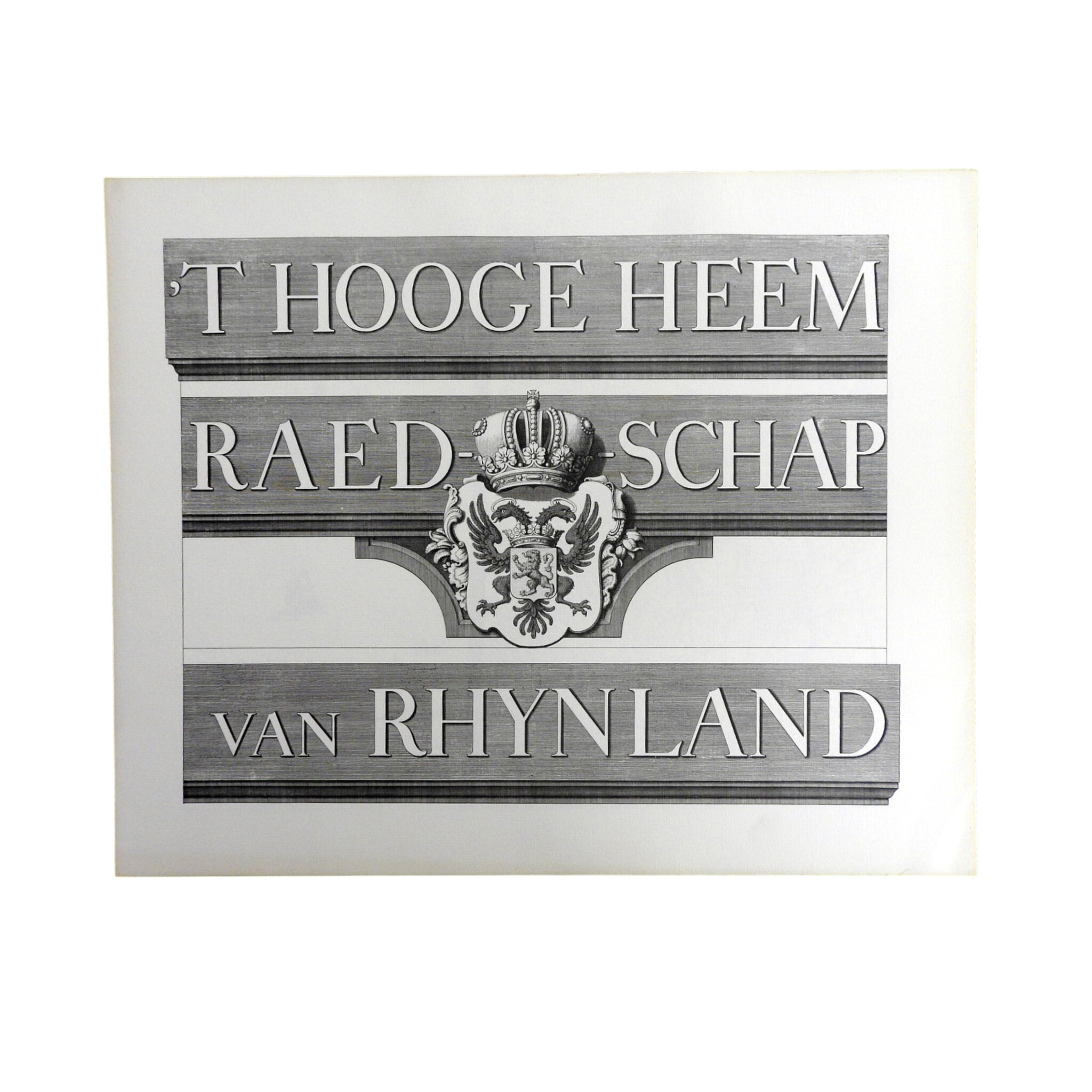
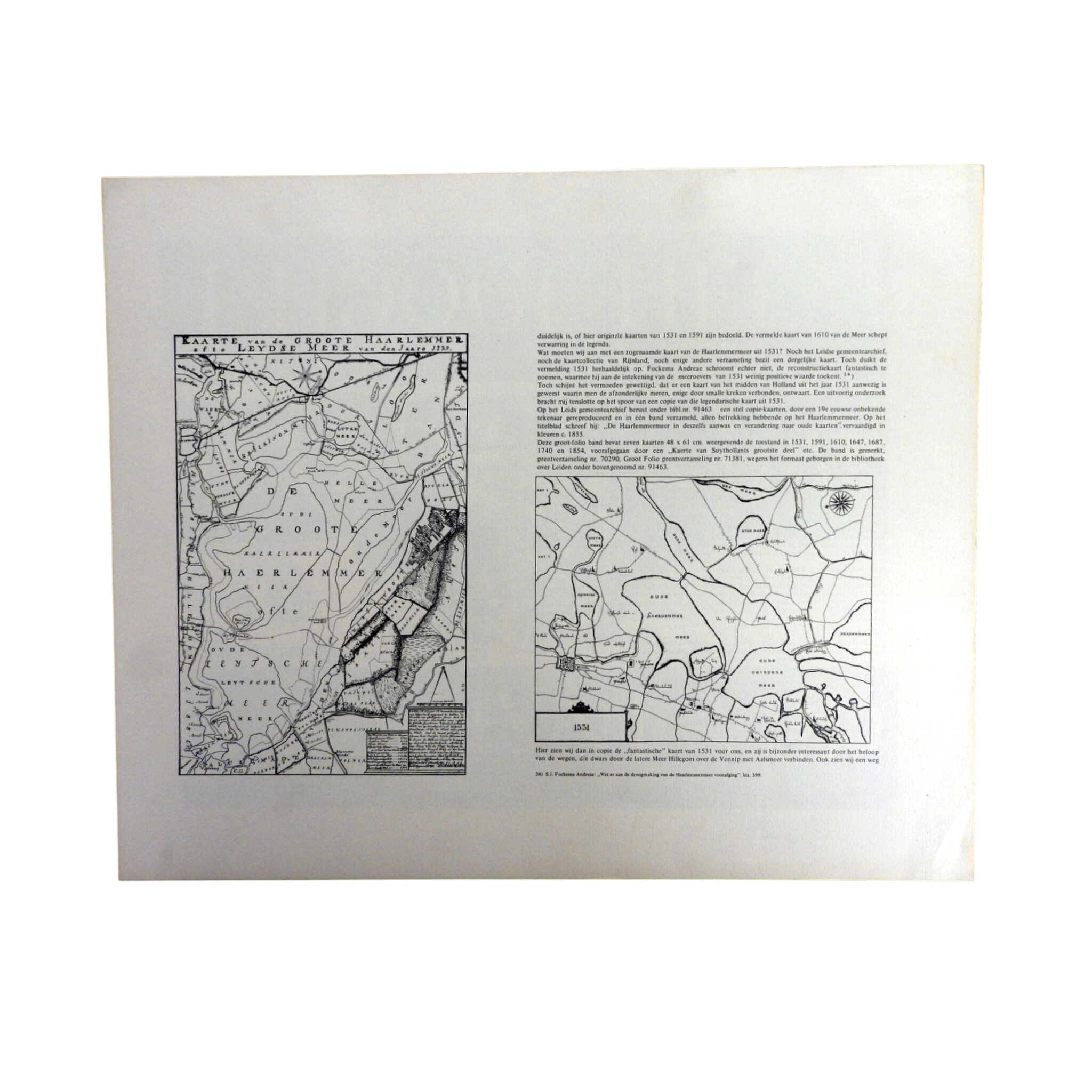
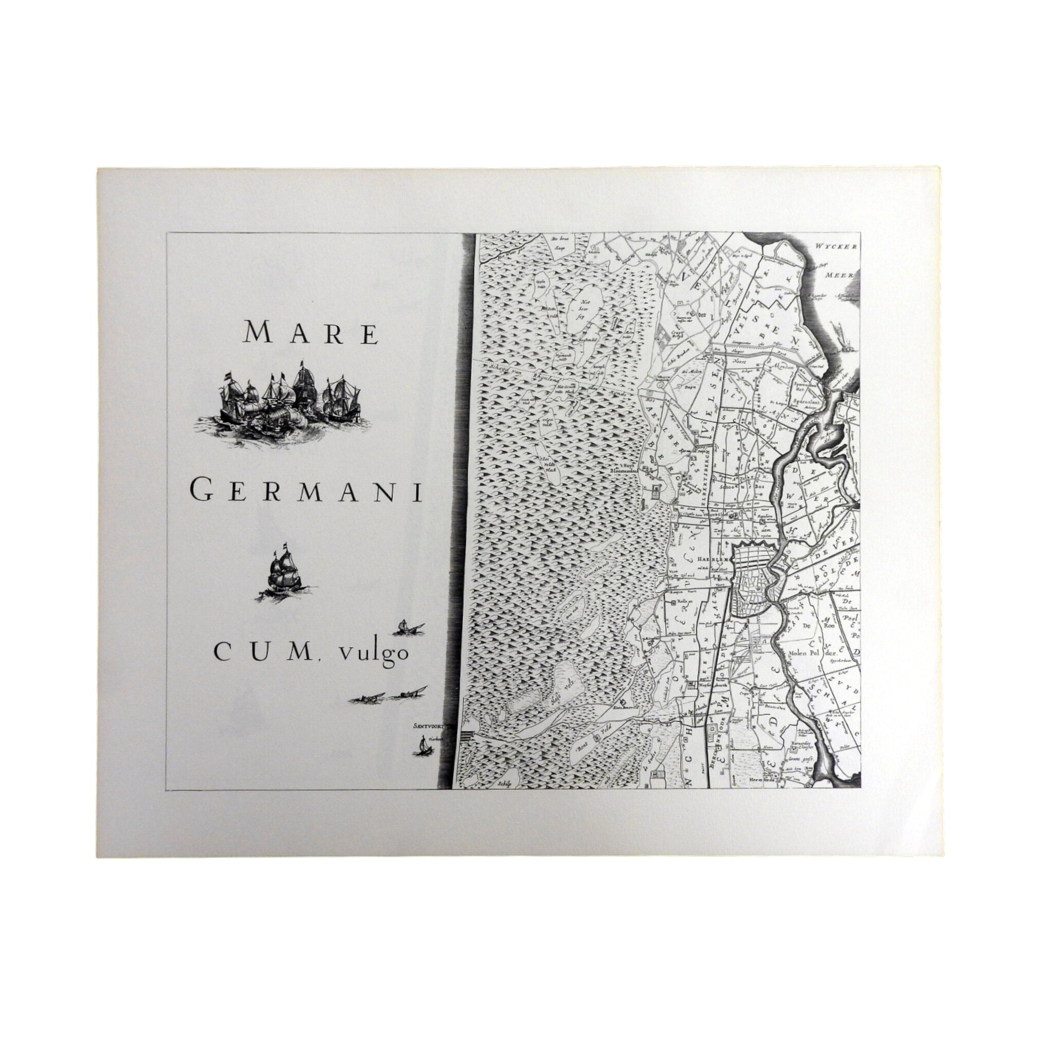
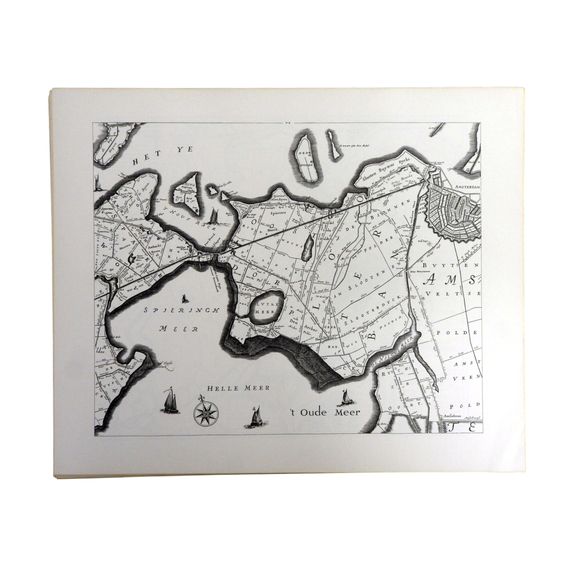
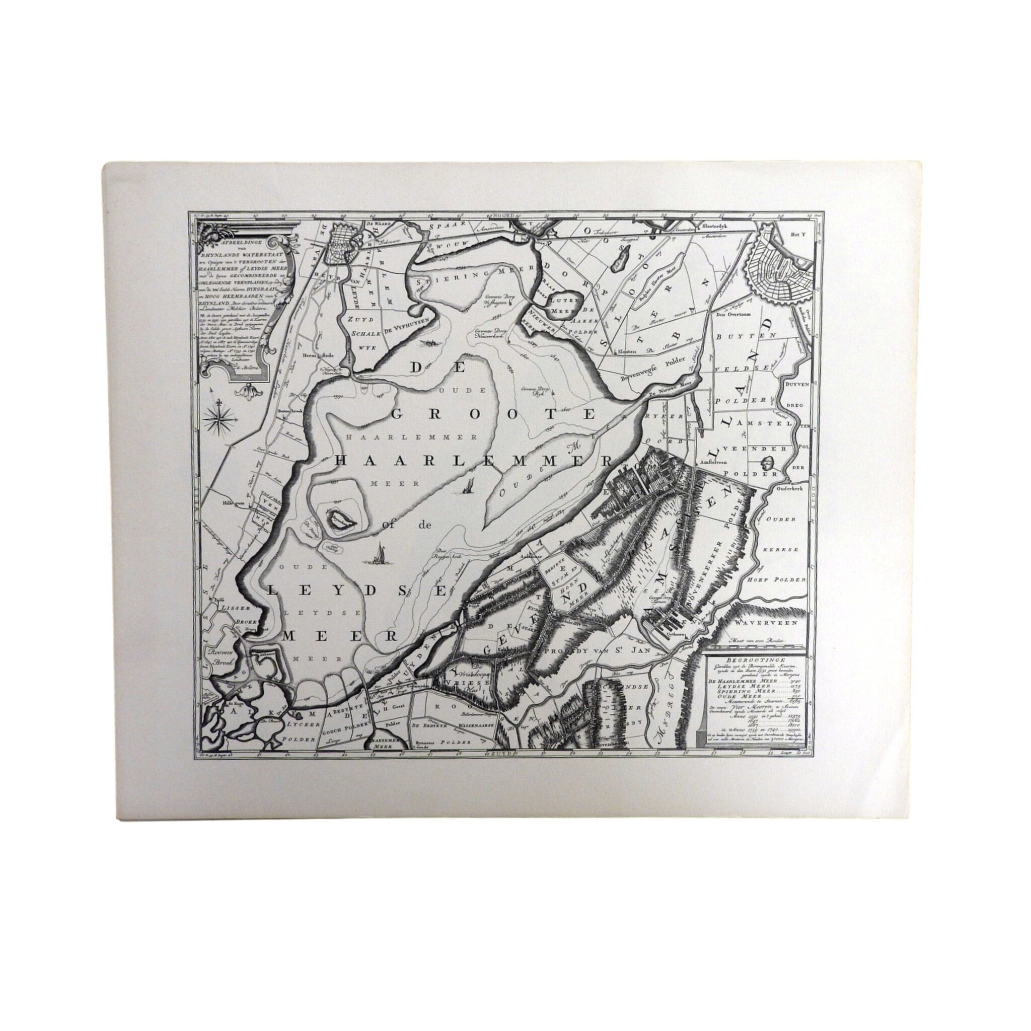
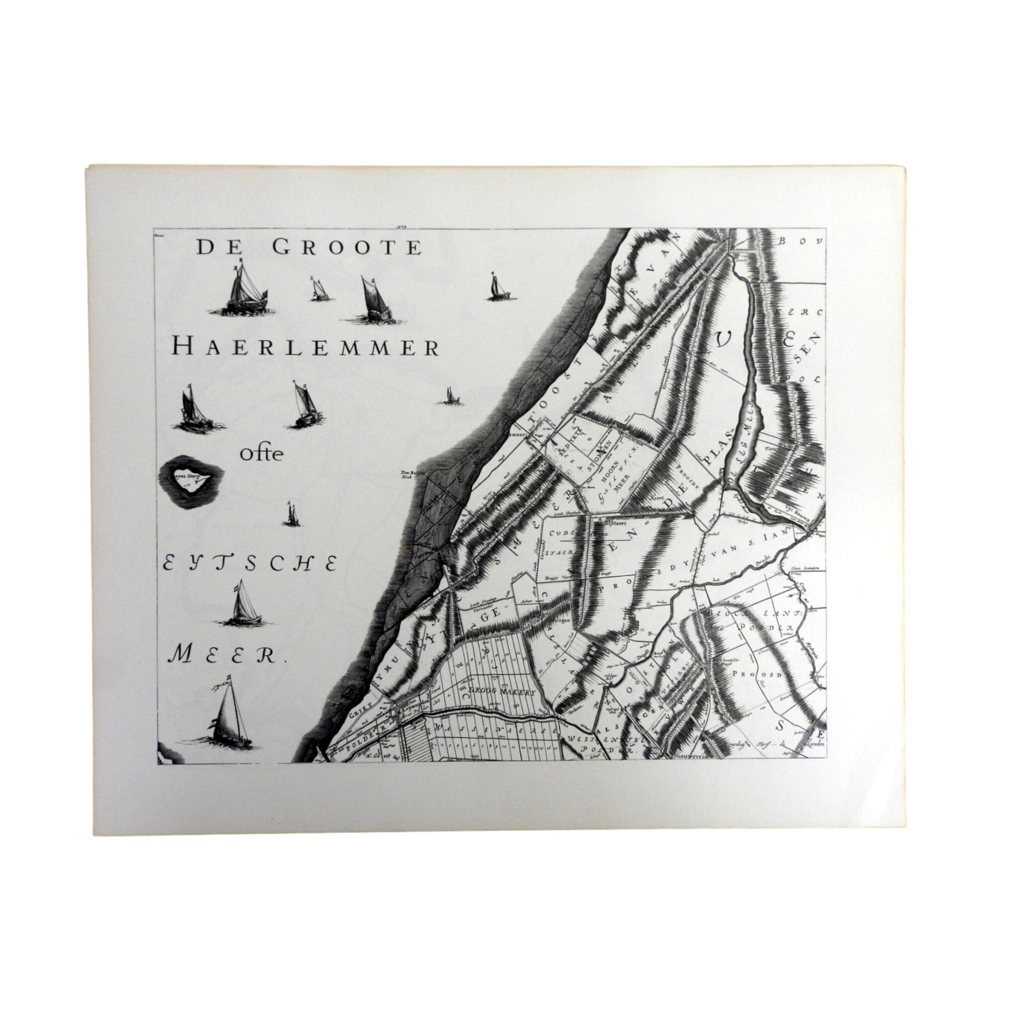
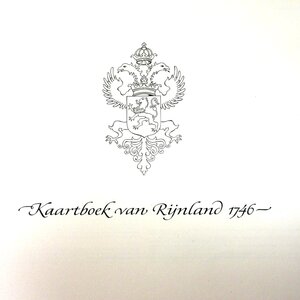
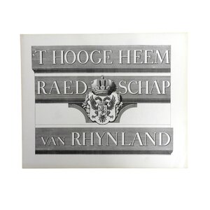
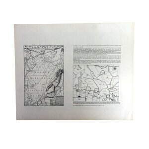
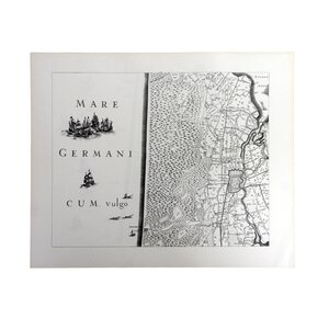
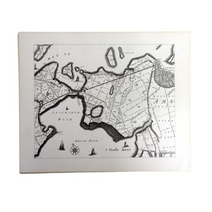
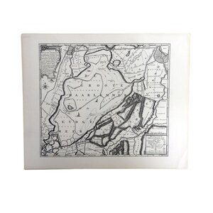
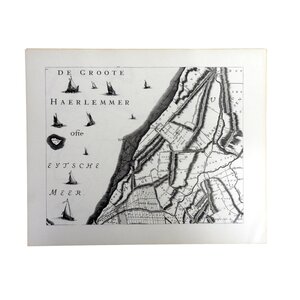
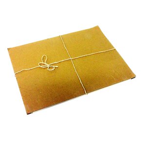
Kaartboek van Rijnland. Map met 12 reproducties van historische kaarten van het Hoogheemraadschap Rijnland met 8 bladen titelblad/documentatie. De kaarten zijn afgedrukt in zwart-wit. Het origineel dateert uit 1746, de reproductie uit 1969.
We aim to dispatch within three to five working days.


What can you expect?
Secure online payment through Mollie
Not satisfied, money-back guarantee
Always comes with certificate of origin
Description
Kaartboek van Rijnland. Map met 12 reproducties van historische kaarten van het Hoogheemraadschap Rijnland met 8 bladen titelblad/documentatie. De kaarten zijn afgedrukt in zwart-wit. Het origineel dateert uit 1746, de reproductie uit 1969. Het Hoogheemraadschap Rijnland is een van de oudste waterschappen van Nederland. Conditie: vertoont lichte gebruikssporen, verkleuring papier. Afmetingen: H. 40 cm, Br. 50 cm.
Related products

Museum Overschie
SOLD - Meyers Conversational Encyclopaedia

Museum Overschie
SOLD - Mr. A. Loosjes, 'South Holland in pictures'


Museum Overschie
SOLD - Atlas of Rijnland, Delfland and Schieland, F. Balthasars
")

Haarlemmermeermuseum De Cruquius
SOLD - Reproduction of a map of Haarlem

Haarlemmermeermuseum De Cruquius
SOLD - Reproduction print Haarlemmermeer