Add your review
Review Atlas of Rijnland, Delfland and Schieland, F. Balthasars; 1972
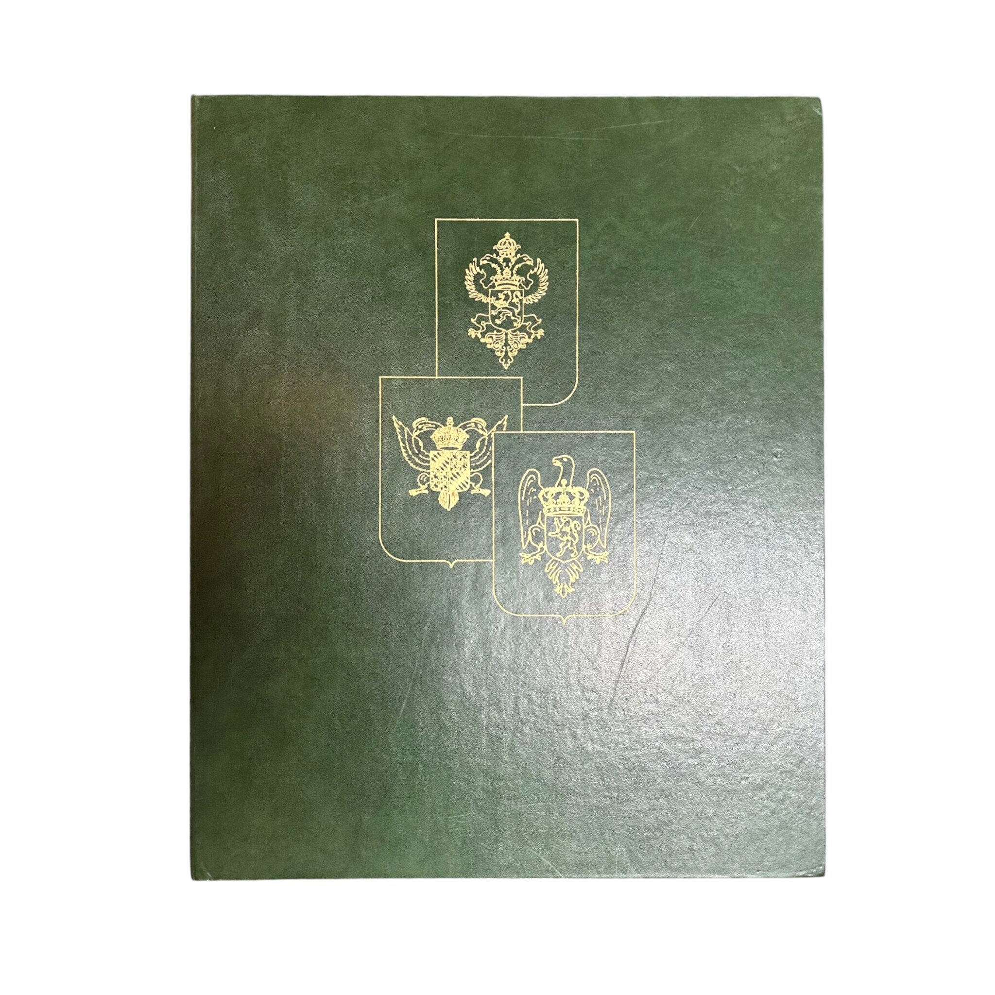
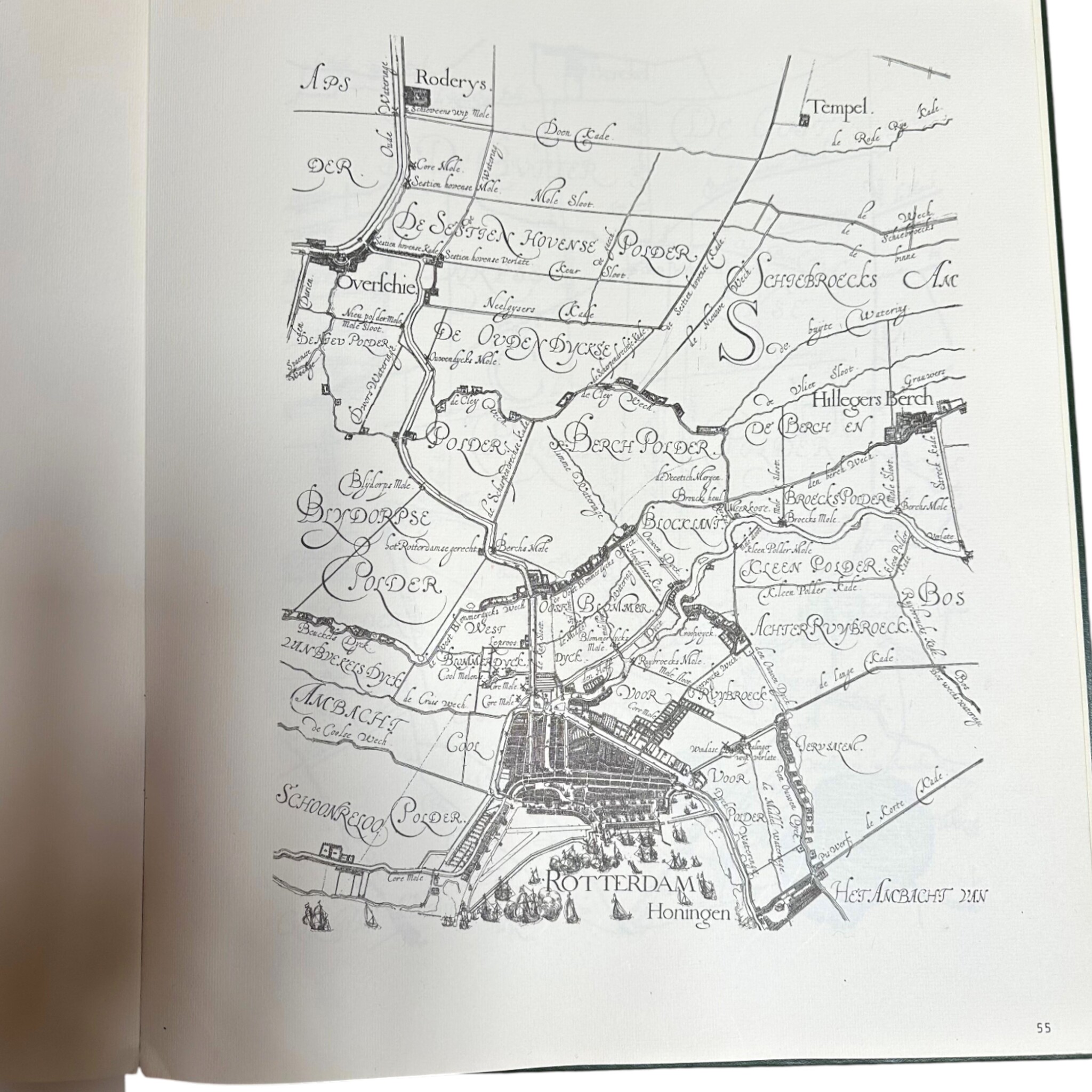
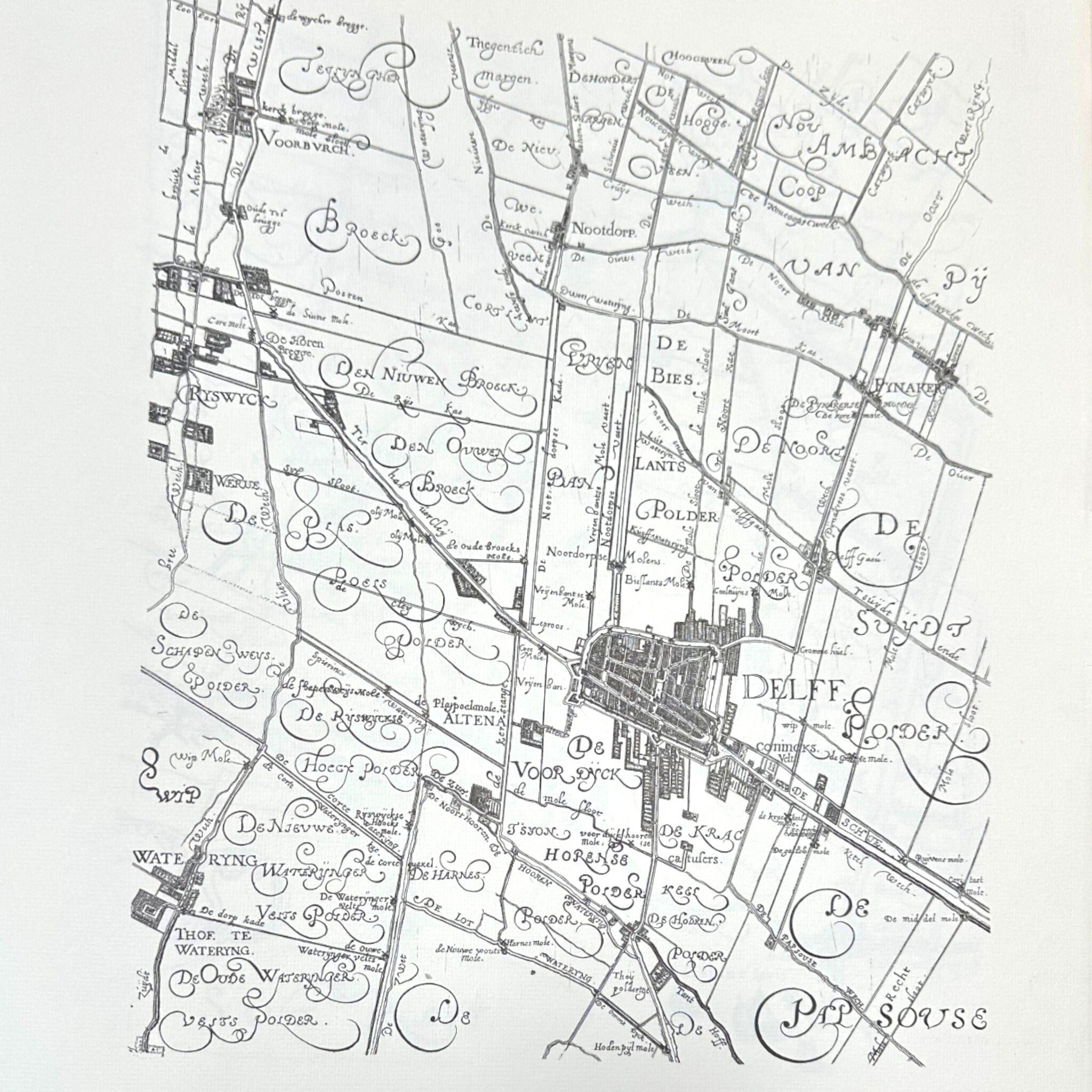
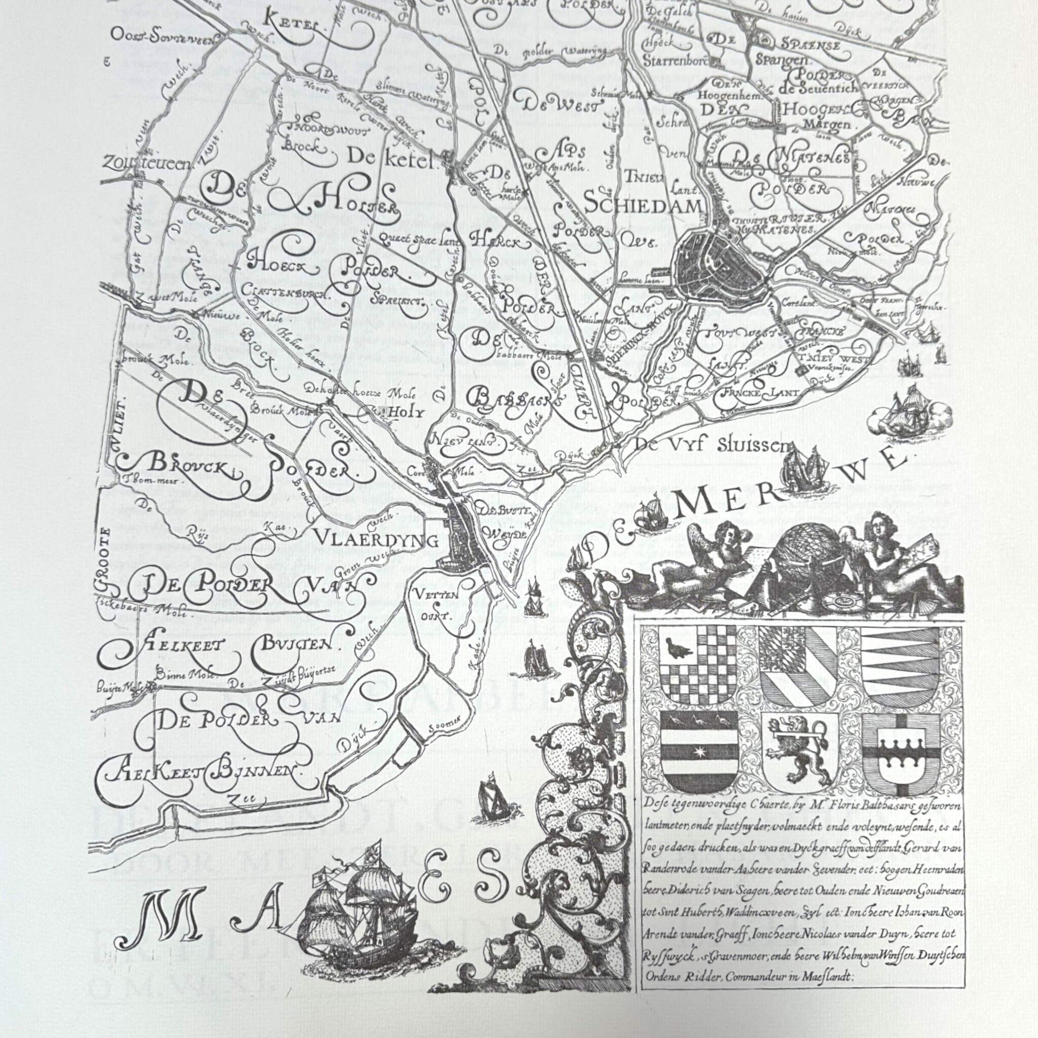

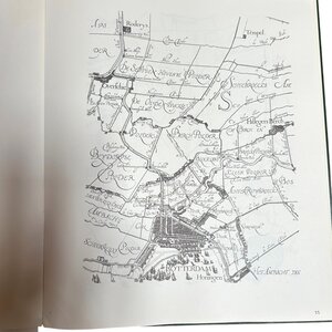
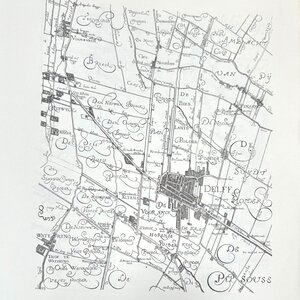

Kaartboek van Rijnland, Delfland en Schieland, Floris Balthasars; uitgave 1972. Deze atlas factice, ook wel samengesteld kaartboek genoemd, bevat drie kaarten van de hoogheemraadschappen Rijnland, Delfland en Schieland.


What can you expect?
Secure online payment through Mollie
Not satisfied, money-back guarantee
Always comes with certificate of origin
Description
Kaartboek van Rijnland, Delfland en Schieland, Floris Balthasars. De kaarten verschenen in 1611-1615 en zijn opnieuw uitgegeven in 1972 bij Uitgeversmaatschappij Canaletto, Alphen ad Rijn. Deze atlas factice, ook wel samengesteld kaartboek genoemd, bevat drie kaarten van de hoogheemraadschappen Rijnland, Delfland en Schieland, 42 pagina's. Conditie: vertoont gebruikssporen. Afmetingen: 48 x 39 cm.
Related products

Museum Overschie
SOLD - Meyers Conversational Encyclopaedia

Museum Overschie
SOLD - Mr. A. Loosjes, 'South Holland in pictures'

")

Haarlemmermeermuseum De Cruquius
SOLD - Reproduction of a map of Haarlem

Haarlemmermeermuseum De Cruquius
SOLD - Reproduction print Haarlemmermeer